
"EPIC RIDE.....RIDE REPORT" 100+ Pictures! 56k Users Beware

Thread Starter
|
Your Humble Moderator/Admin
Joined: Nov 2005
Posts: 21,060
From: Washington
1st Gear Member
To call this ride report “EPIC” is an understatement to say the least. It was so much more than a great riding experience. You see this was a chance for two cousins that haven’t spent any time together in over 25 years to get reacquainted. Let me back up for a second.
I was born on July 10th 1964…….is that too far back? LOL My cousin was born July 7th 1964. He may be older but I have more gray hair. We both spent a lot of time together when we were really little, but around the JR high school years we sort of drifted apart, got busy with life and of course having 4 hours between us didn’t help either. So over the years we kind of lost touch in the traditional family sense.
Fast forward to more than 25 years, and his dad (my mom’s brother) passed away in December of 08. We went down to see what we could do and to just be with family and that’s when we discovered the endless similarities between us. I could list all of them here but let’s just say that motorcycles, GPS and Geocaching were just 3 of the things that we had in common. That got us to thinking about getting together for a ride, and to not let the years go by again. Losing someone that you love tends to have that effect on a person. Appreciation for who is left takes on a greater meaning.
So that was the start of the discussion that led to the first annual “Two Cousin’s Ride” Which if I haven’t said so yet was EPIC!!! I’m still waiting on the T-Shirts. Now I could write about all the juvenile things we did while on this 5 day trip, but I have to protect the guilty to some extent. Let’s just say that for a couple of guys…..cousins…..friends….. who just turned 45, we were transformed back to the age of 14 and it was a blast!
So in some sort of order here are the pictures and the descriptions that go with it.
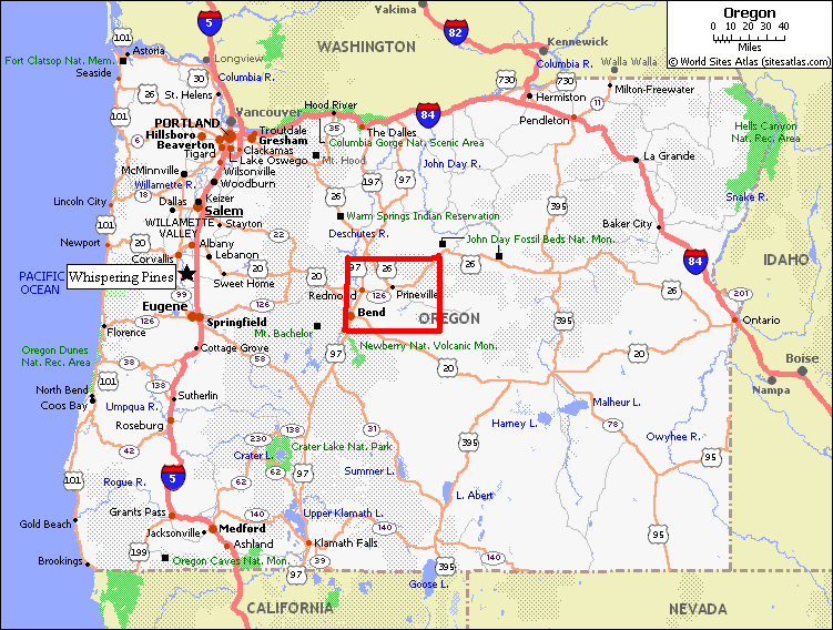
First of all for those of you not familiar with the Central Oregon area (including myself) Here is a map of the area. The farthest that I have been into Oregon was Portland, so for me this was a real adventure. It really looked a lot like Eastern Washington to me.
Oregon map with the area in the red box....excuse my paint skills.
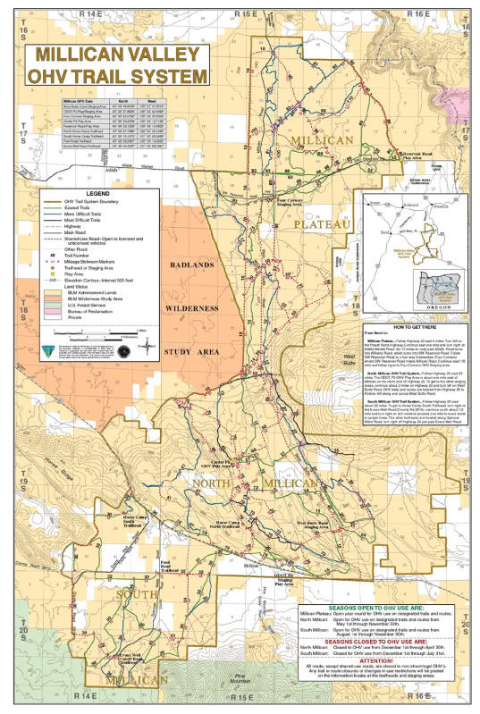
This is a map of the OHV riding area.
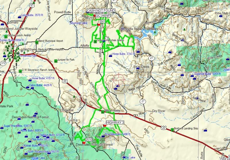
Here is the GPS track total for the 4 days of riding from my GPS
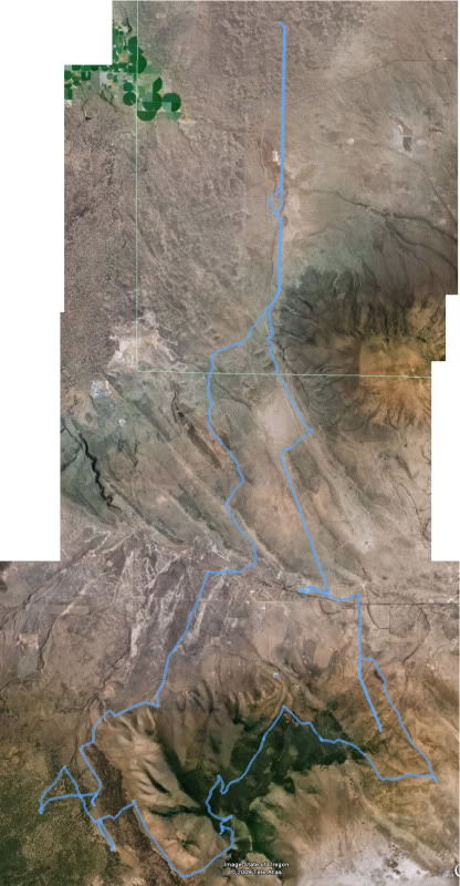
And here is Jim's track for the long day ride over Google Earth
So that gives you a sense of the location and the riding areas. But let's back up in sort of an order to the trip.
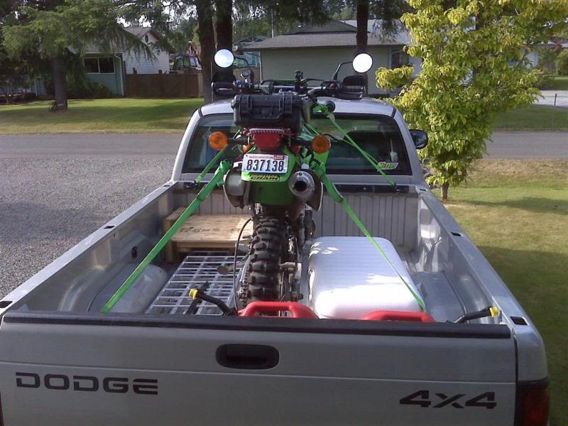
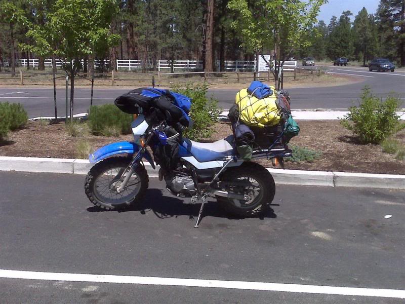
The night before, I walked out the door for the 15th time to look at the truck and the bike, I didn't sleep good because I was imagining that someone was breaking into my truck and stealing everything. But they didn't.
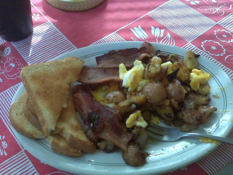
I left Forks at 4:45 am to head down to my mom's house in Kelso Wa, and of course there was good coffee and hot food waiting. Don't you just love moms?
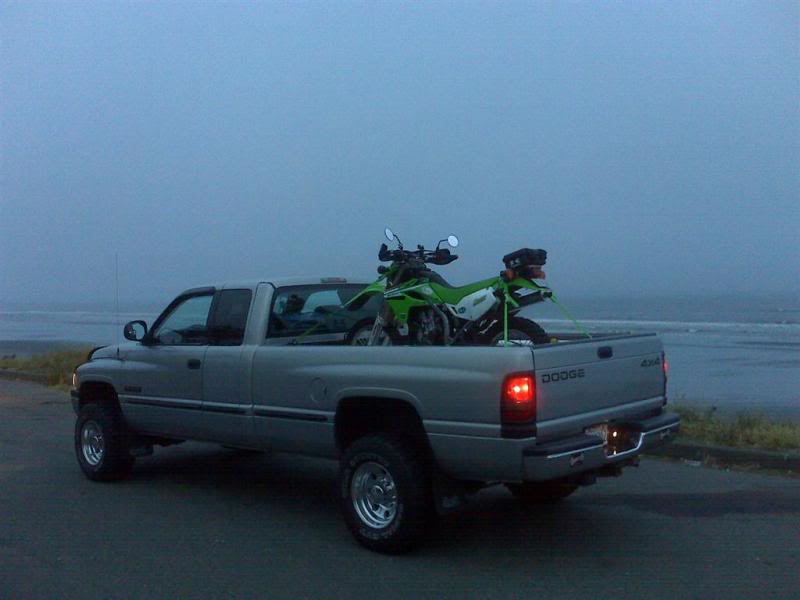
I stopped along the beach to pour some coffee, it was still not fully light out yet. This was 45 minutes out of Forks.
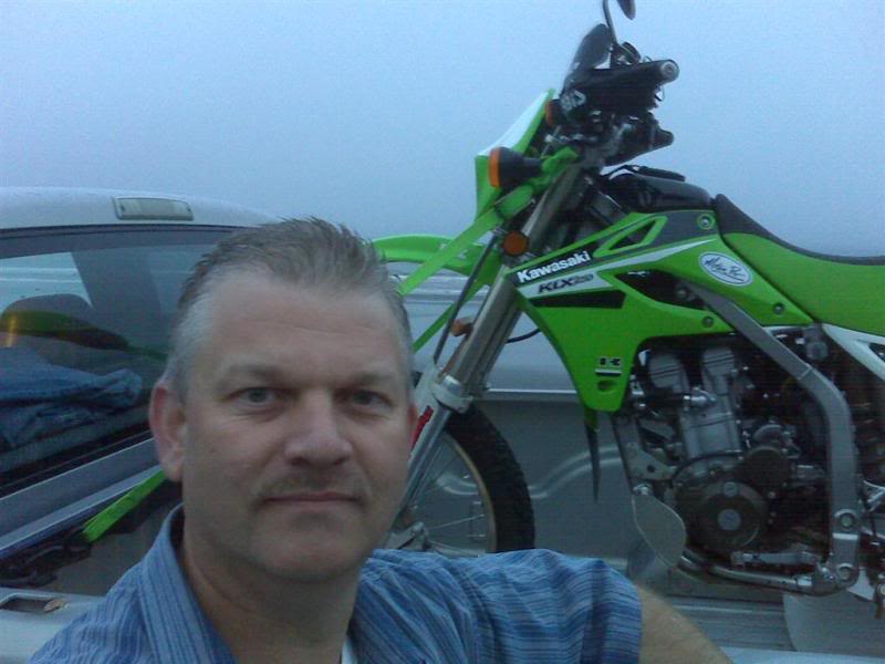
Self portrait....That's the best smile I could muster up. haha
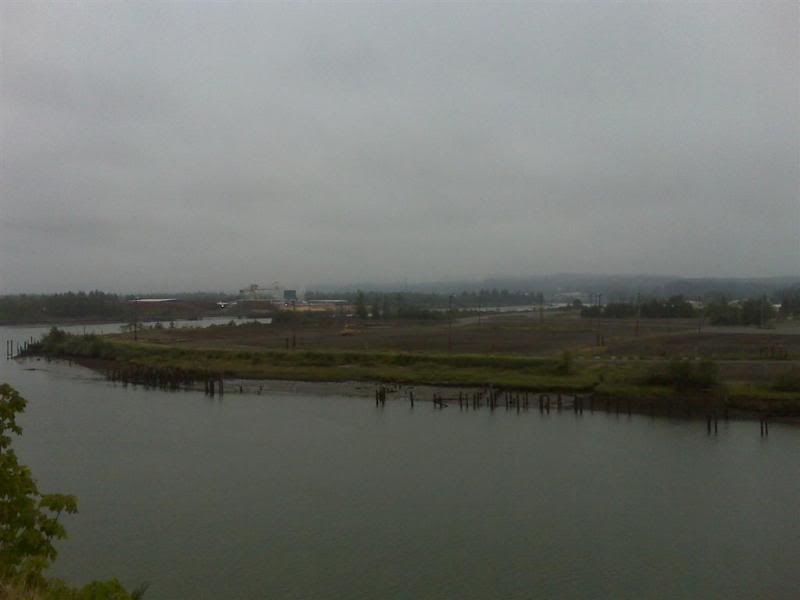
This next picture has nothing to do with the ride, but just outside Aberdeen Wa I drove by a mill that for the 40 years that I have been passing by was always busting at the seams with thousands of logs, was all but gone now. This is another example of the down turned economy.
Arrived at my mom's house in Kelso around 8:30 for hot food. then I was off to Beaverton Oregon.
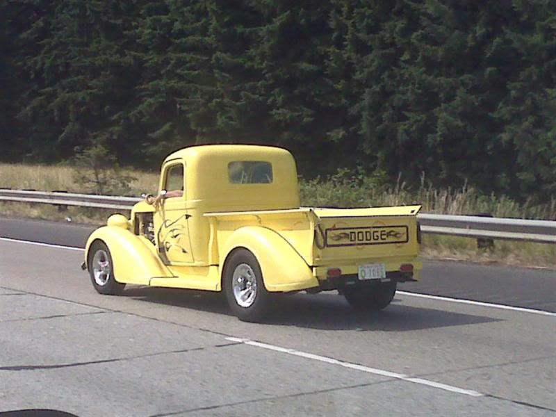
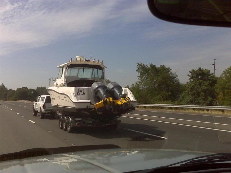
Heading down to Portland, just before crossing the bridge I spotted a couple of cool picture opportunities. Its always interesting to see how the Blackberry pictures come out.
Doing 70 down the freeway and trying to get the shot does take some skill. lol
This one is for Finger
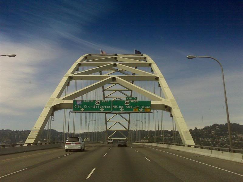
Heading over the Washington to Oregon Bridge, I'm sure it has a name but I can't remember.
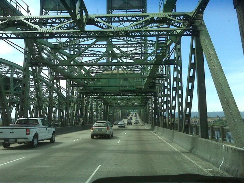
And another bridge..
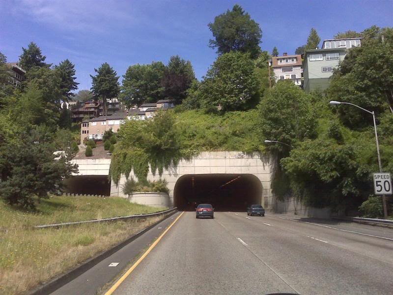
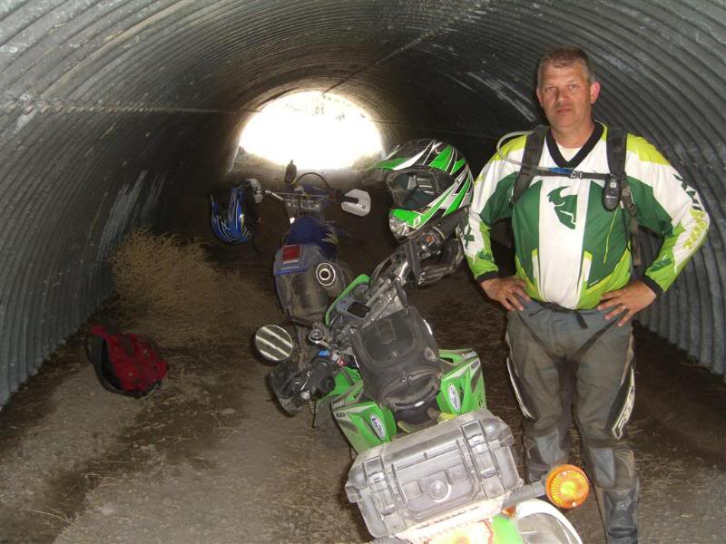
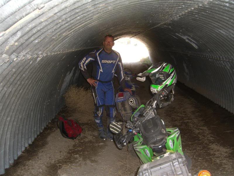
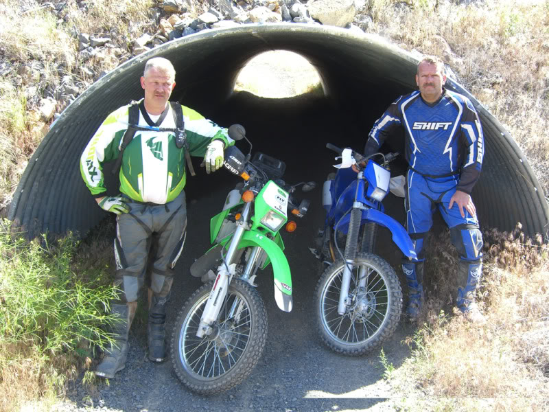
And a tunnel.....I know I don't get out much. LOL
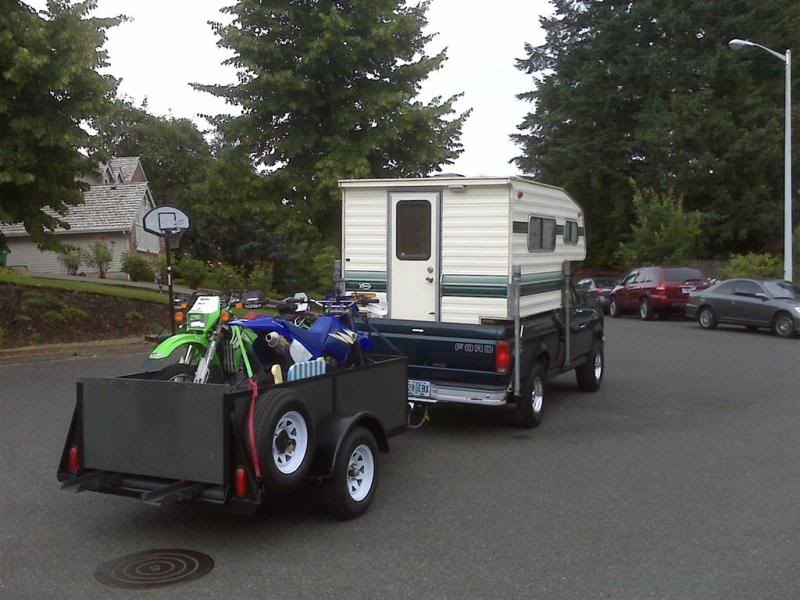
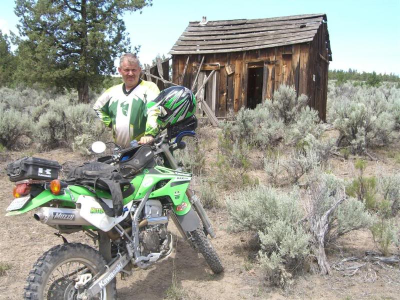
Made it to Jim's house and unloaded all my stuff into his camper and trailer and then it was off to the bike shop for some spare tubes. This is his son Austin, drooling over this Honda.....at least it's green right? haha

I was born on July 10th 1964…….is that too far back? LOL My cousin was born July 7th 1964. He may be older but I have more gray hair.
We both spent a lot of time together when we were really little, but around the JR high school years we sort of drifted apart, got busy with life and of course having 4 hours between us didn’t help either. So over the years we kind of lost touch in the traditional family sense. Fast forward to more than 25 years, and his dad (my mom’s brother) passed away in December of 08. We went down to see what we could do and to just be with family and that’s when we discovered the endless similarities between us. I could list all of them here but let’s just say that motorcycles, GPS and Geocaching were just 3 of the things that we had in common. That got us to thinking about getting together for a ride, and to not let the years go by again. Losing someone that you love tends to have that effect on a person. Appreciation for who is left takes on a greater meaning.
So that was the start of the discussion that led to the first annual “Two Cousin’s Ride” Which if I haven’t said so yet was EPIC!!! I’m still waiting on the T-Shirts.
Now I could write about all the juvenile things we did while on this 5 day trip, but I have to protect the guilty to some extent. Let’s just say that for a couple of guys…..cousins…..friends….. who just turned 45, we were transformed back to the age of 14 and it was a blast!So in some sort of order here are the pictures and the descriptions that go with it.
First of all for those of you not familiar with the Central Oregon area (including myself) Here is a map of the area. The farthest that I have been into Oregon was Portland, so for me this was a real adventure. It really looked a lot like Eastern Washington to me.
Oregon map with the area in the red box....excuse my paint skills.
This is a map of the OHV riding area.
Here is the GPS track total for the 4 days of riding from my GPS
And here is Jim's track for the long day ride over Google Earth
So that gives you a sense of the location and the riding areas. But let's back up in sort of an order to the trip.
The night before, I walked out the door for the 15th time to look at the truck and the bike, I didn't sleep good because I was imagining that someone was breaking into my truck and stealing everything. But they didn't.
I left Forks at 4:45 am to head down to my mom's house in Kelso Wa, and of course there was good coffee and hot food waiting. Don't you just love moms?
I stopped along the beach to pour some coffee, it was still not fully light out yet. This was 45 minutes out of Forks.
Self portrait....That's the best smile I could muster up. haha
This next picture has nothing to do with the ride, but just outside Aberdeen Wa I drove by a mill that for the 40 years that I have been passing by was always busting at the seams with thousands of logs, was all but gone now. This is another example of the down turned economy.
Arrived at my mom's house in Kelso around 8:30 for hot food. then I was off to Beaverton Oregon.
Heading down to Portland, just before crossing the bridge I spotted a couple of cool picture opportunities. Its always interesting to see how the Blackberry pictures come out.
Doing 70 down the freeway and trying to get the shot does take some skill. lol
This one is for Finger
Heading over the Washington to Oregon Bridge, I'm sure it has a name but I can't remember.
And another bridge..
And a tunnel.....I know I don't get out much. LOL
Made it to Jim's house and unloaded all my stuff into his camper and trailer and then it was off to the bike shop for some spare tubes. This is his son Austin, drooling over this Honda.....at least it's green right? haha
Last edited by deej; Jul 14, 2009 at 06:06 PM.
Thread Starter
|
Your Humble Moderator/Admin
Joined: Nov 2005
Posts: 21,060
From: Washington
1st Gear Member
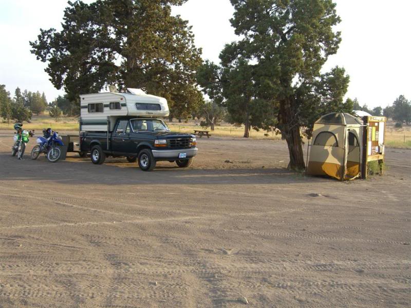
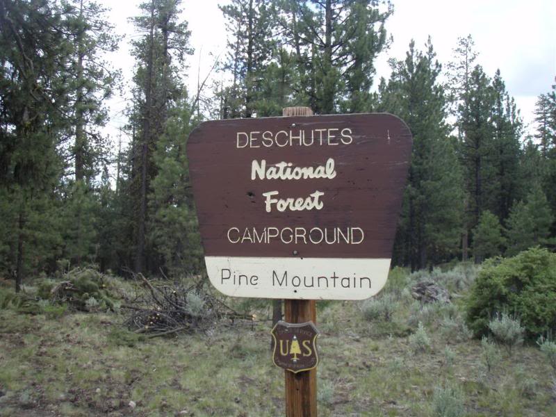
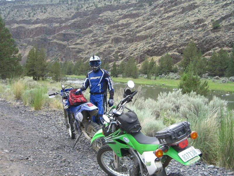
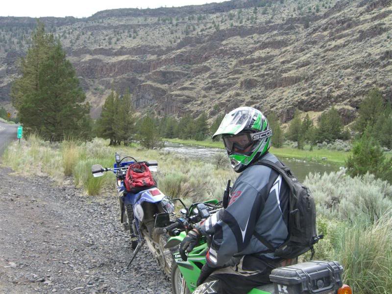
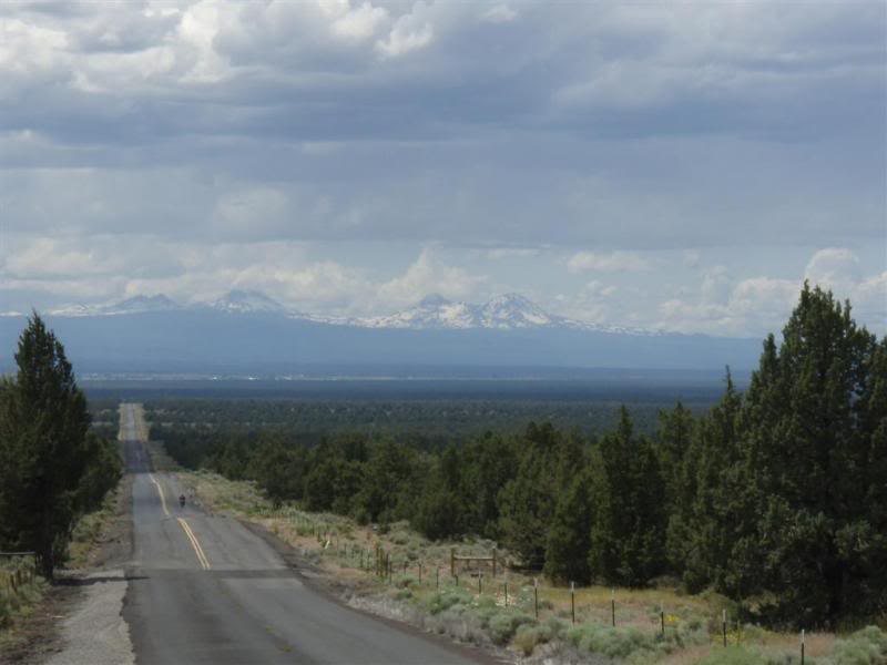
Another 3.5 hours from Jim's house put us at the Millican riding area. There were some interesting scenes along the way.
All loaded up and pulling out of the driveway.
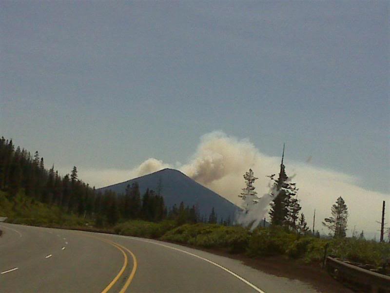
There was a fire on one of the mountains, but it was at least an hour away from the campsite.
Ran into a guy from the area, who was just getting back from his own "epic ride" Grabbed a bite at McDonald's and it was off to the campsite.
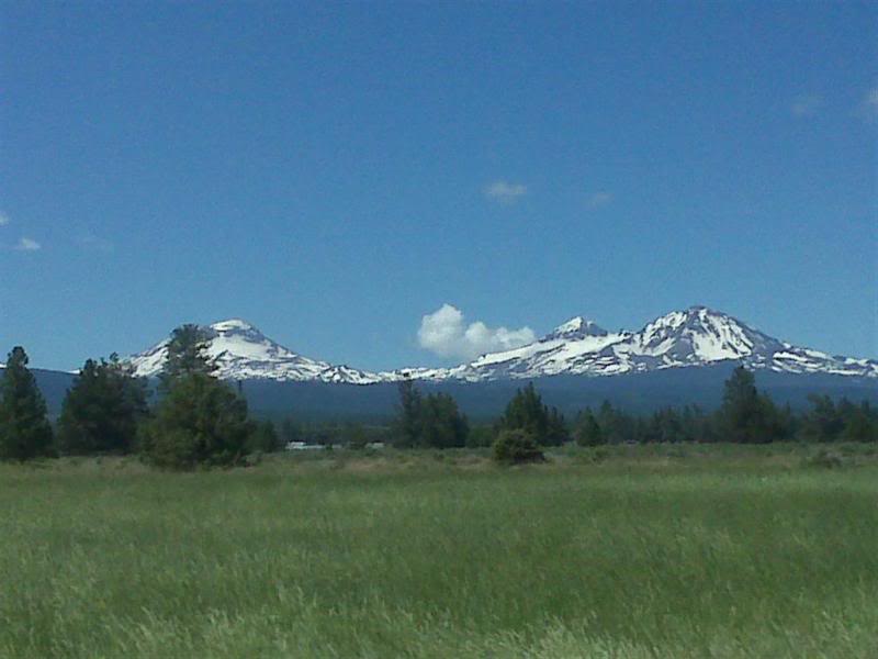
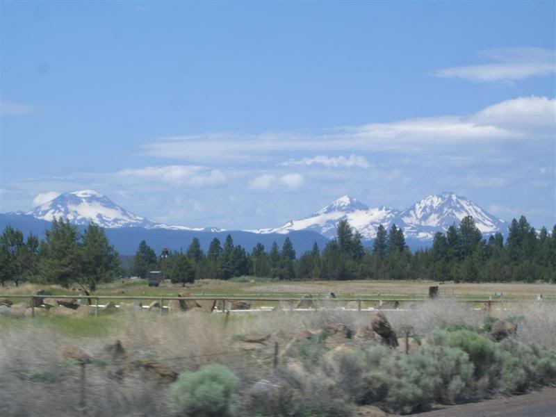
Sisters Mountains
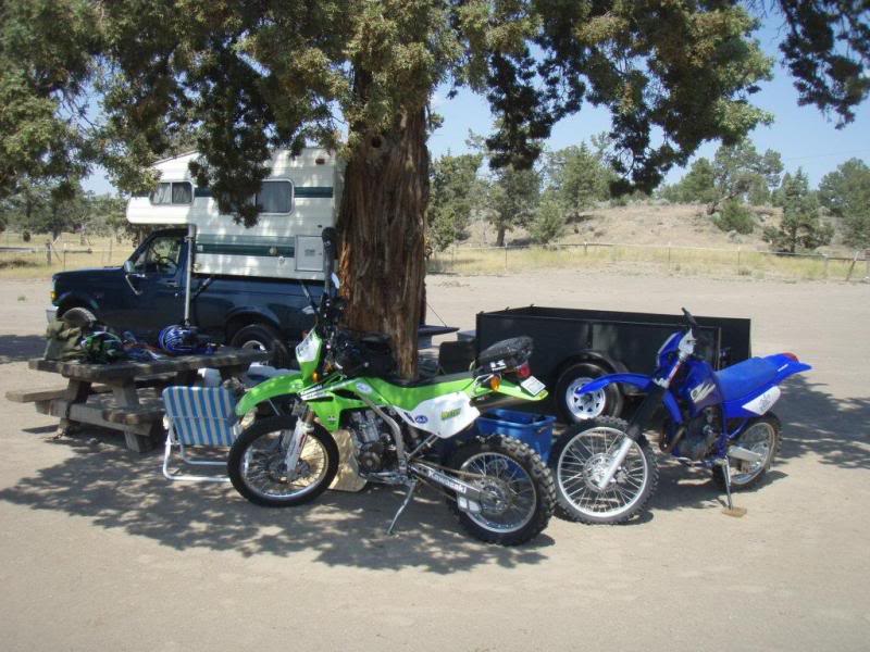
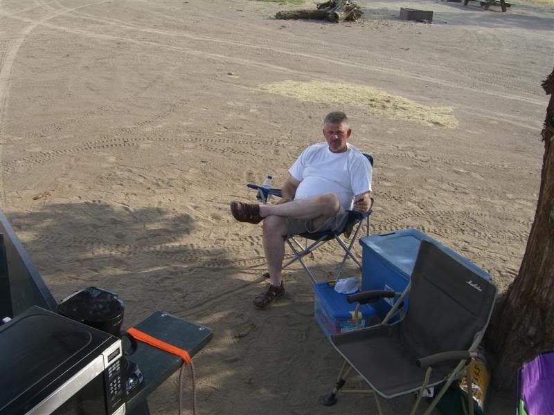
Arrived and setup camp.
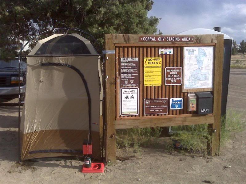
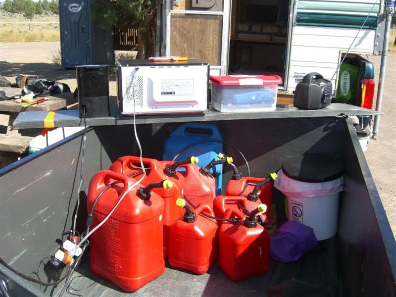
I setup the portable shower and Jim set up the TV, Microwave and Coffee Pot.
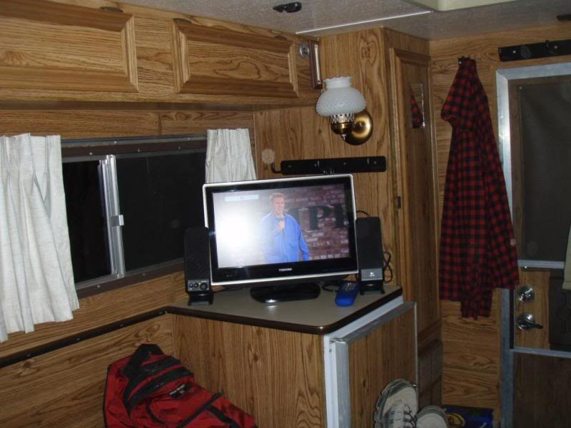
As you can see we were really roughing it. That was Brian Reagan, we were crying watching that. It was the funniest stand-up I have ever seen.
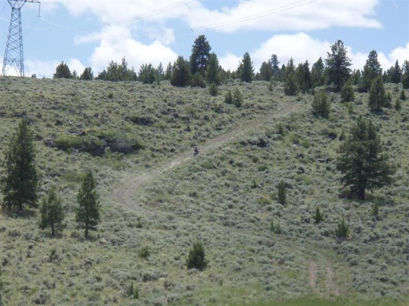
We decided that since there was still about 5 hours of daylight left, we needed to get the ride started. So we set out to grab a few caches.
The first one was under a cow-pie. That's like trying to find a needle in a stack of needles.
You know me and pictures of poop LOL
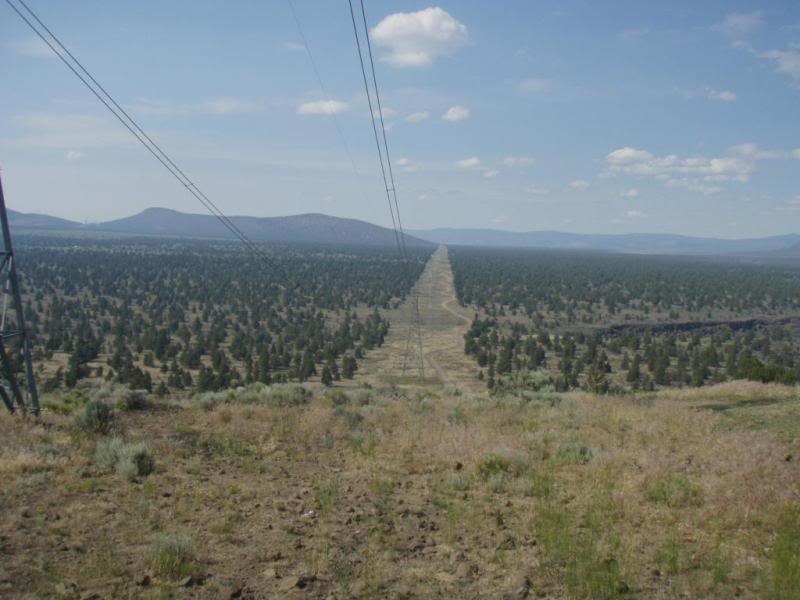
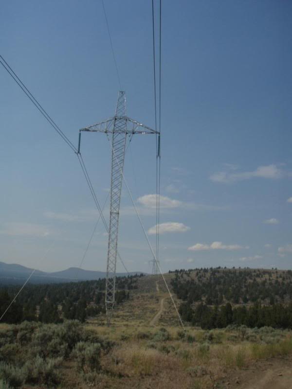
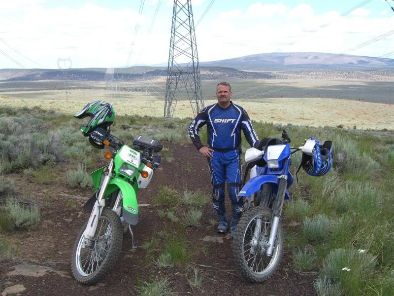
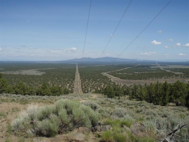
Then we headed up to the power lines. Which by the way sound like bacon sizzling!......"Mmmmmmm Bacon" I tried to Google it to find out why it made that sound, something about as electricity passes it creates sound waves, and then I got bored and thought who cares!
Jim
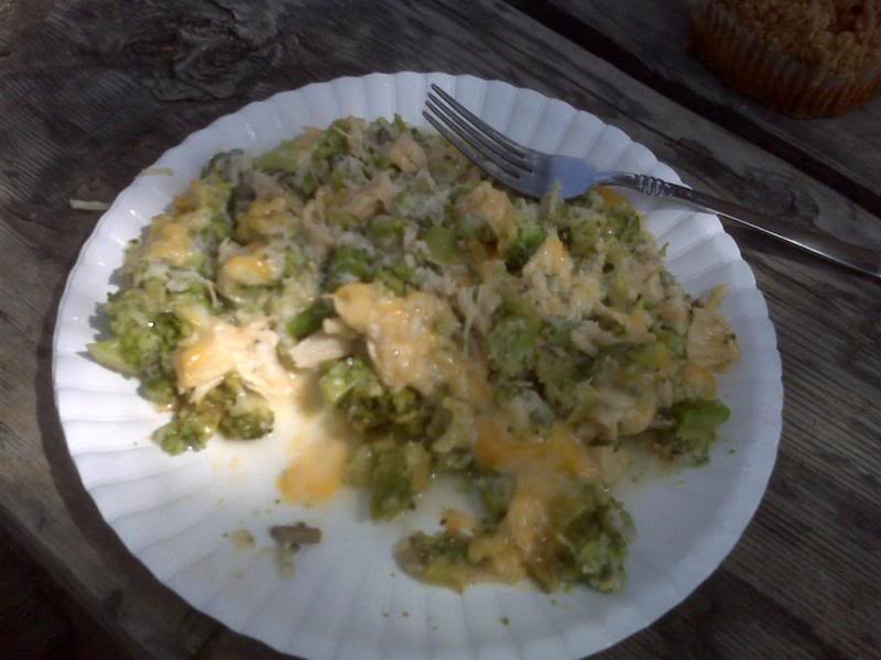
After a few hours we headed back to camp to see what Jim's wife Julie made us for dinner. She pre-made Chicken Broccoli Casserole for dinner and Quiche...(and yes real men eat Quiche)
Quiche: is a baked dish that is based on a custard made from eggs and milk or cream in a pastry crust. Usually, the pastry shell is blind baked before the other ingredients are added for a secondary baking period.
Don't tease! LOL
Anyway I digress... Back at camp we settled in for an evening of tomfoolery (is that a word?)
Mmmmmmm that was awesome, thanks Julie! You are the best. Jim paid me to say that but I would have said it for free.
Checking the Blackberry. We had full signal. So there was no excuse not to call the wives.
All loaded up and pulling out of the driveway.
There was a fire on one of the mountains, but it was at least an hour away from the campsite.
Ran into a guy from the area, who was just getting back from his own "epic ride" Grabbed a bite at McDonald's and it was off to the campsite.
Sisters Mountains
Arrived and setup camp.
I setup the portable shower and Jim set up the TV, Microwave and Coffee Pot.
As you can see we were really roughing it. That was Brian Reagan, we were crying watching that. It was the funniest stand-up I have ever seen.
We decided that since there was still about 5 hours of daylight left, we needed to get the ride started. So we set out to grab a few caches.
The first one was under a cow-pie. That's like trying to find a needle in a stack of needles.
You know me and pictures of poop LOL
Then we headed up to the power lines. Which by the way sound like bacon sizzling!......"Mmmmmmm Bacon" I tried to Google it to find out why it made that sound, something about as electricity passes it creates sound waves, and then I got bored and thought who cares!
Jim
After a few hours we headed back to camp to see what Jim's wife Julie made us for dinner. She pre-made Chicken Broccoli Casserole for dinner and Quiche...(and yes real men eat Quiche)
Quiche: is a baked dish that is based on a custard made from eggs and milk or cream in a pastry crust. Usually, the pastry shell is blind baked before the other ingredients are added for a secondary baking period.
Don't tease! LOL
Anyway I digress... Back at camp we settled in for an evening of tomfoolery (is that a word?)
Mmmmmmm that was awesome, thanks Julie! You are the best. Jim paid me to say that but I would have said it for free.
Checking the Blackberry. We had full signal. So there was no excuse not to call the wives.
Thread Starter
|
Your Humble Moderator/Admin
Joined: Nov 2005
Posts: 21,060
From: Washington
1st Gear Member
Still day one, Jim's camera does this cool thing where it takes 3 picture on the timer. So we hammed it up a little.
Normal...(and that's relative)
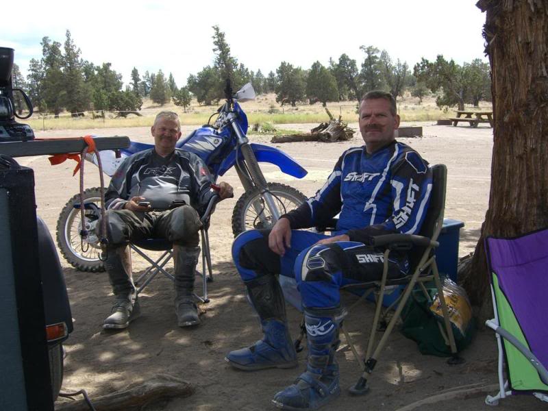
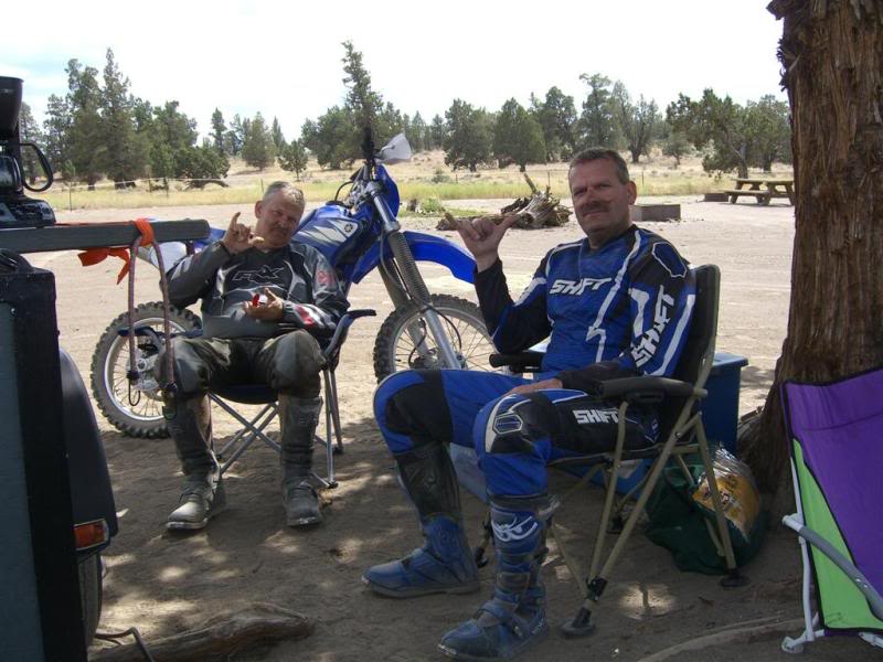
Still somewhat normal...
And of course checking the Blackberry phones. You should have seen the discussion about how to pose for this series. We planned the death out of that one. Hahahaha
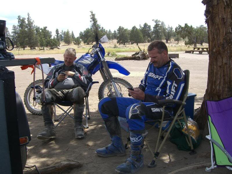
Still checking the phone after dark.......that's sad I know.
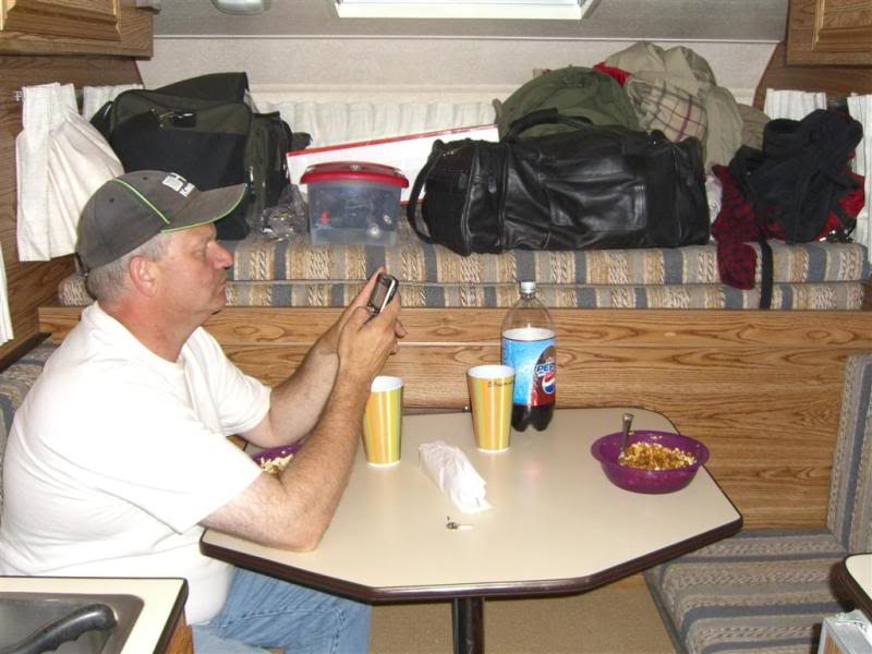
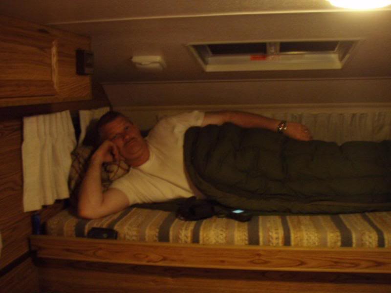
Oh yes I forgot to mention that we both had the same exact Blackberry phone. Coincidence? I think not!
I think this picture was from the last night, but I thought I would throw it in here.
The next day we headed out after a great breakfast of Quiche, muffins and peanut butter bars. These are not in any particular order or day, because I'm too lazy to remember.
Some of the highways have these cool culvert tunnels. You thought the Muzzy was loud before, try riding through one of these things. Wooooooooooooooow!
Most of these picture really don't need many words. And also the lazy thing again. This report is already taking me waaaaay too long. Yikes!!!
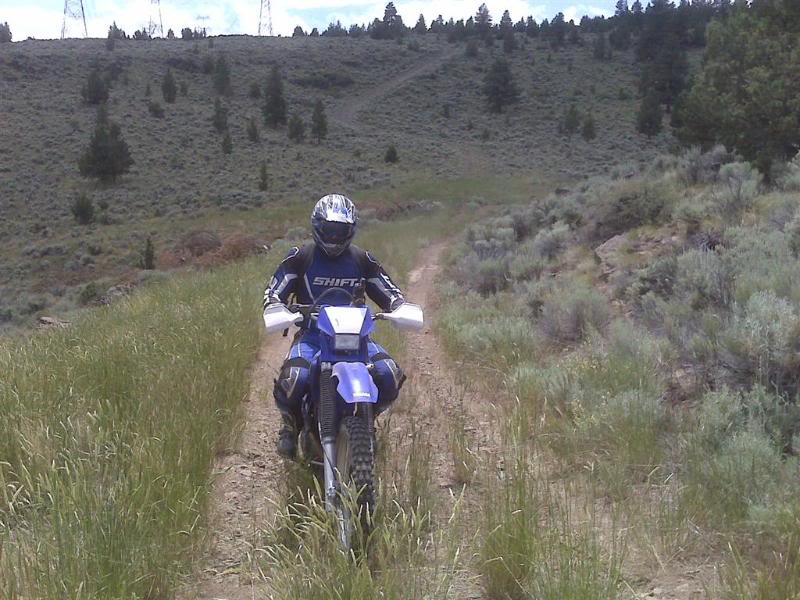
One of the days we made into an epic ride within the "Epic Ride" Ended the day with I think 85 miles, which for trails and sand.......oh sand yea that's right, I now have a new found respect for anyone who rides in sand on a regular basis. It was brutal! neither one of us dropped out bikes on the trip, but there were a few close calls. Standing up, leaning back and getting the front tire to plane across the sand was the trick.
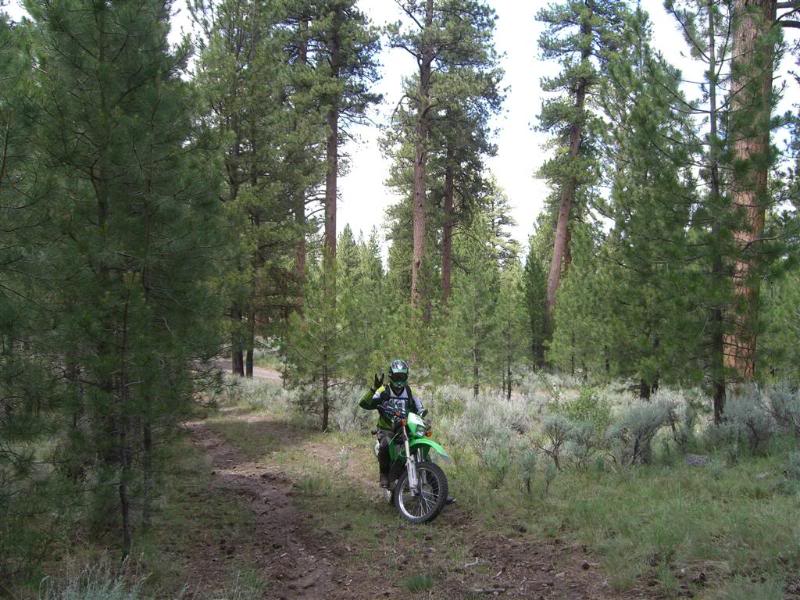
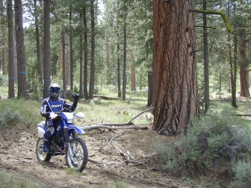
We did make it to tall timber country on one of the days. The Pine trees here are awesome!
Normal...(and that's relative)
Still somewhat normal...
And of course checking the Blackberry phones. You should have seen the discussion about how to pose for this series. We planned the death out of that one. Hahahaha
Still checking the phone after dark.......that's sad I know.
Oh yes I forgot to mention that we both had the same exact Blackberry phone. Coincidence? I think not!
I think this picture was from the last night, but I thought I would throw it in here.
The next day we headed out after a great breakfast of Quiche, muffins and peanut butter bars. These are not in any particular order or day, because I'm too lazy to remember.
Some of the highways have these cool culvert tunnels. You thought the Muzzy was loud before, try riding through one of these things. Wooooooooooooooow!
Most of these picture really don't need many words. And also the lazy thing again.
This report is already taking me waaaaay too long. Yikes!!!One of the days we made into an epic ride within the "Epic Ride" Ended the day with I think 85 miles, which for trails and sand.......oh sand yea that's right, I now have a new found respect for anyone who rides in sand on a regular basis. It was brutal! neither one of us dropped out bikes on the trip, but there were a few close calls. Standing up, leaning back and getting the front tire to plane across the sand was the trick.
We did make it to tall timber country on one of the days. The Pine trees here are awesome!
Last edited by deej; Jul 29, 2009 at 05:34 PM.
Thread Starter
|
Your Humble Moderator/Admin
Joined: Nov 2005
Posts: 21,060
From: Washington
1st Gear Member
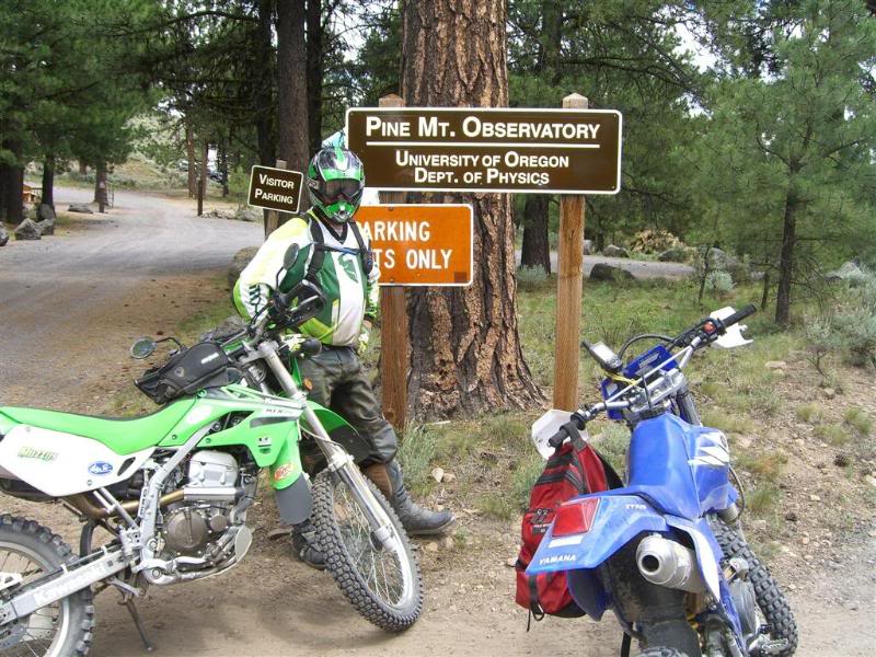
OSU has an observatory way up in the hills, and we came across it.
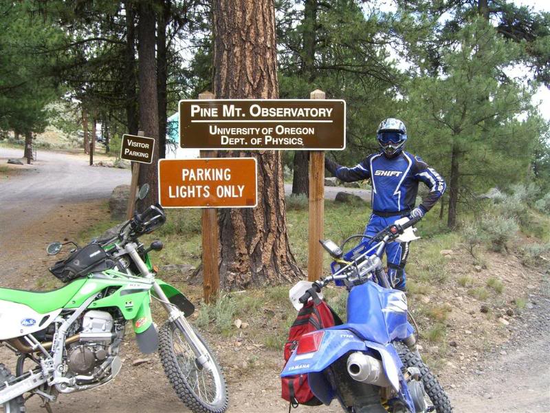
This was an interesting trail that was "closed" We took it anyway and it came out, but it was steep enough that we might have had an interesting time trying to get back up.
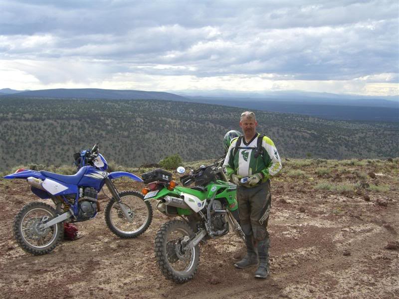
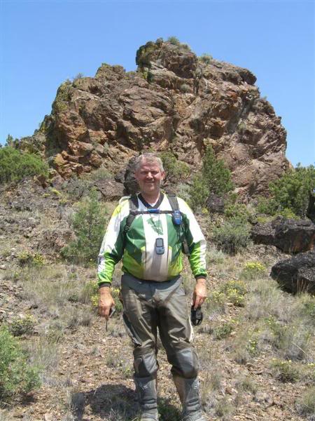
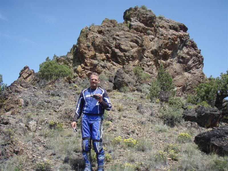
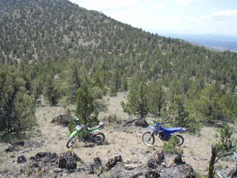
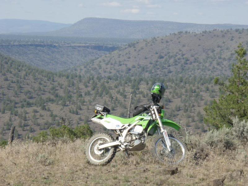
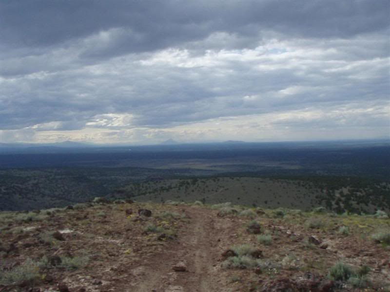
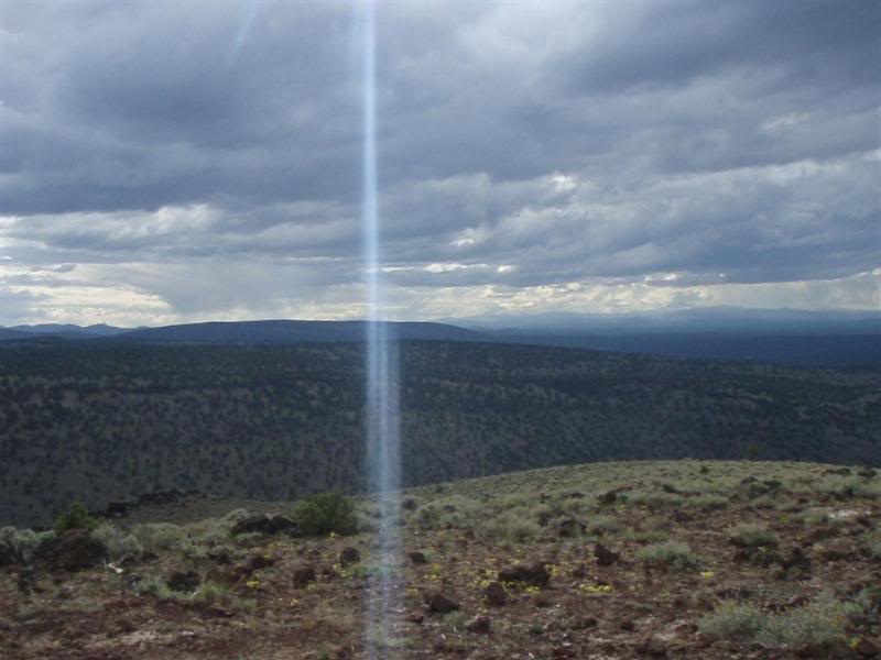
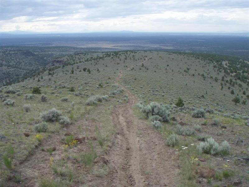
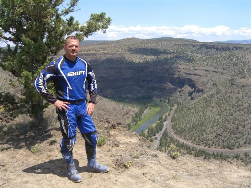
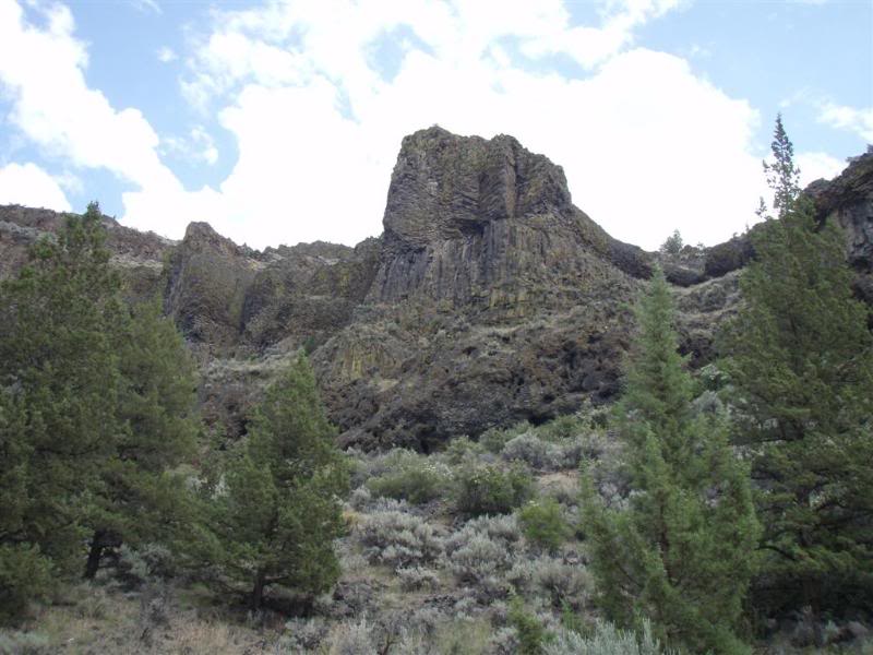
Some of the views up here are really great.
Jim is going to scold me I just know it. I can see that a lot of these pictures are way out of order by day. Sorry man. But I just gotta get this thing done.
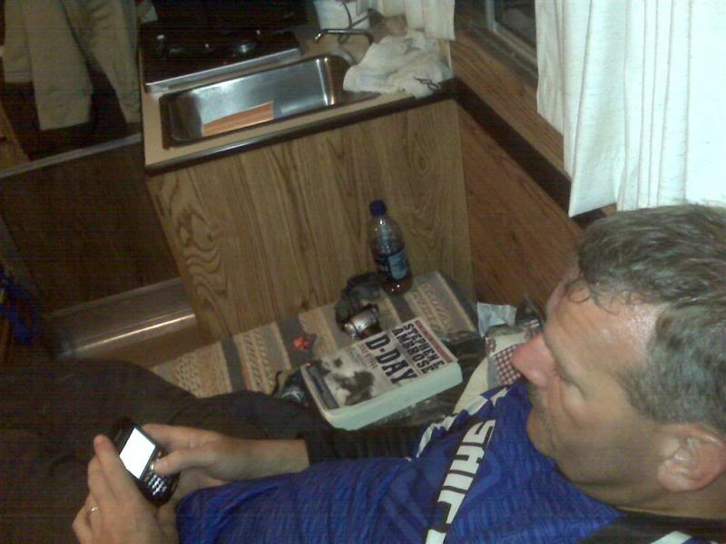
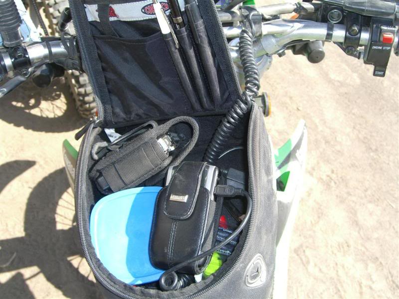
One of the nice features of having the 12v power supply is that you can charge the phone on the fly.
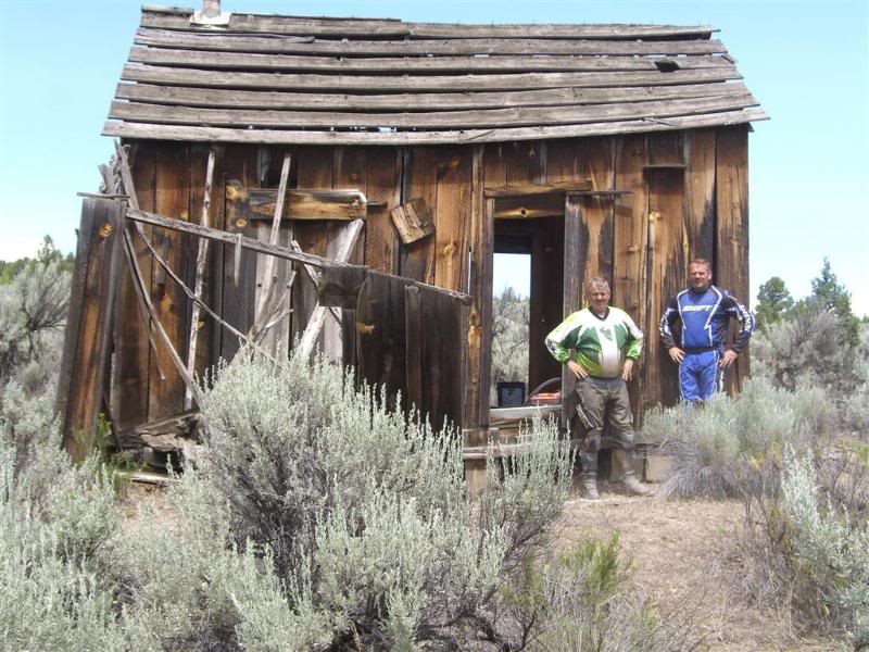
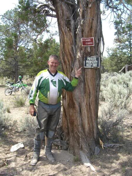
We went to this old ranchers shack that Jim had been to I think the week before.
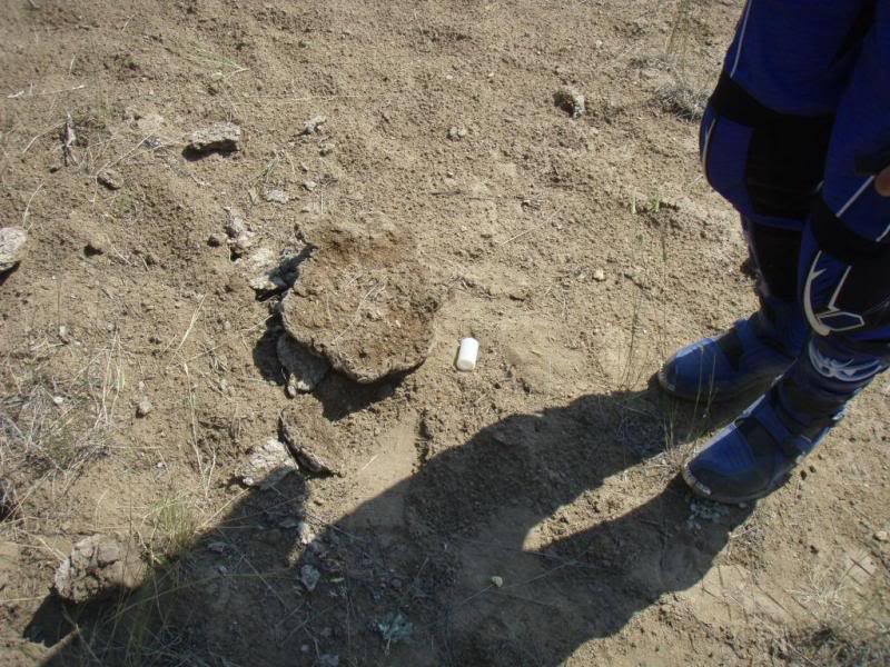
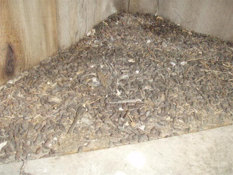
Again, my fascination with animal droppings cannot be explained. And neither can these. I heard that it may be from some sort of desert rat! YIKES!
Whoops......
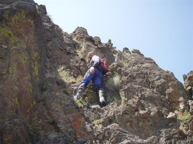
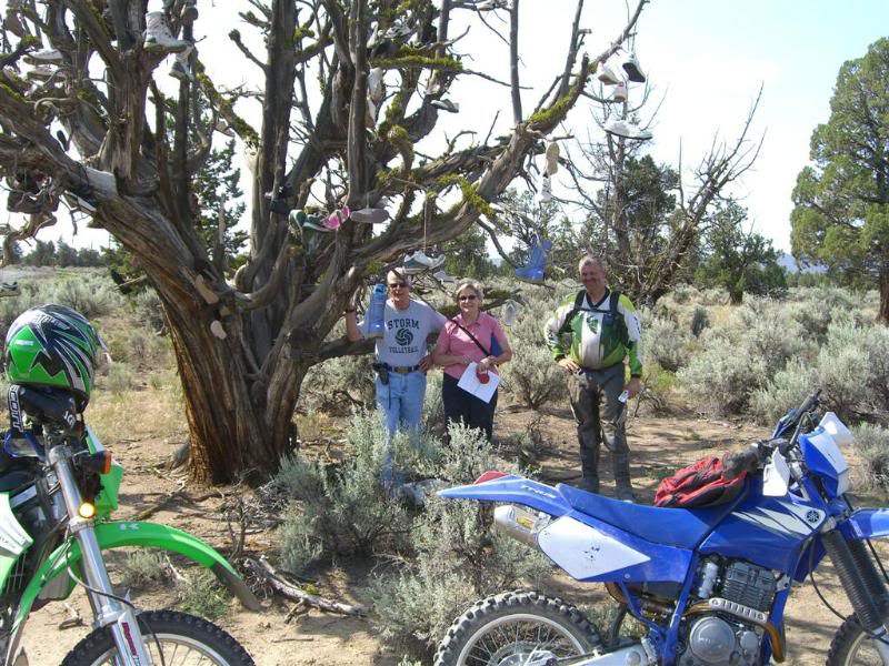
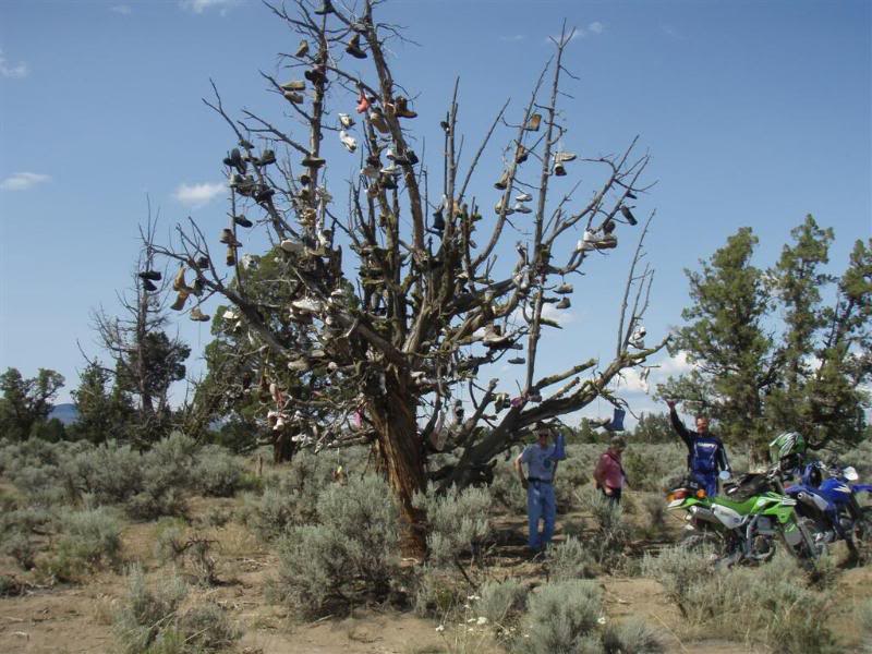
One of the days I think its the same day we rode to that shack we decided to look for another geocache that was about a mile away as the crow flies......although I didn't really see any crows... We never found that cache, but here are a few pictures that prove we were there.
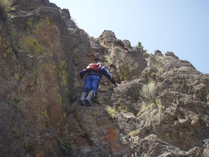
Nope its not up here...he says while trying not to die!!!
We looked on the Blackberry when we got back to camp where we had signal, and it said to look in the tree....DOH!!!!!
This was an interesting trail that was "closed" We took it anyway and it came out, but it was steep enough that we might have had an interesting time trying to get back up.
Some of the views up here are really great.
Jim is going to scold me I just know it. I can see that a lot of these pictures are way out of order by day. Sorry man. But I just gotta get this thing done.
One of the nice features of having the 12v power supply is that you can charge the phone on the fly.
We went to this old ranchers shack that Jim had been to I think the week before.
Again, my fascination with animal droppings cannot be explained. And neither can these. I heard that it may be from some sort of desert rat! YIKES!
Whoops......
One of the days I think its the same day we rode to that shack we decided to look for another geocache that was about a mile away as the crow flies......although I didn't really see any crows... We never found that cache, but here are a few pictures that prove we were there.
Nope its not up here...he says while trying not to die!!!
We looked on the Blackberry when we got back to camp where we had signal, and it said to look in the tree....DOH!!!!!
Thread Starter
|
Your Humble Moderator/Admin
Joined: Nov 2005
Posts: 21,060
From: Washington
1st Gear Member
There is a geocache in one of those caves that his son picked up the week before our trip.
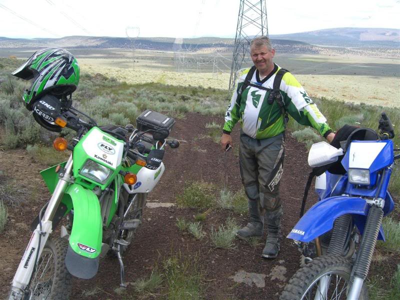
These power lines went on forever.
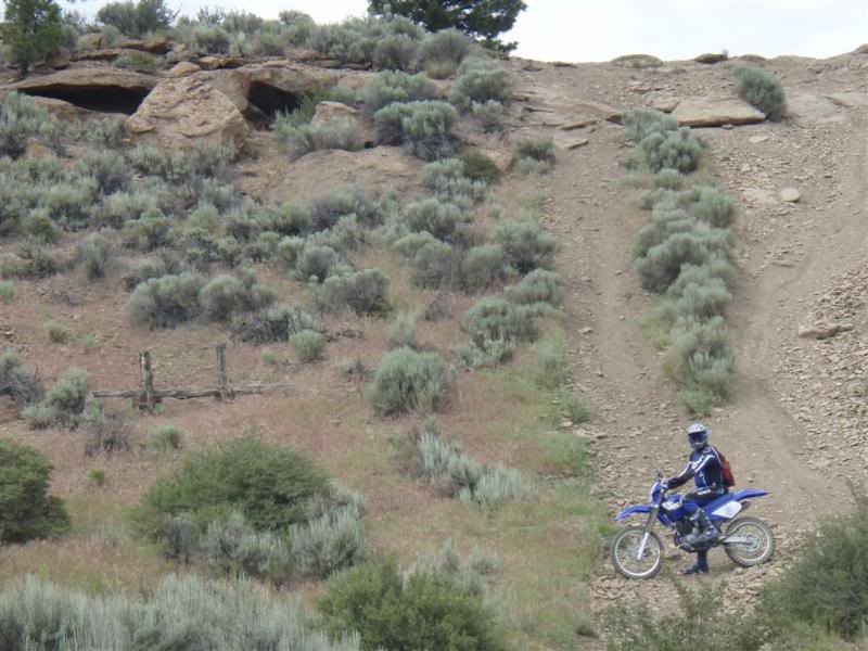
This picture shows how rough some of the trails can be, the rocks just look like they are going to slice your sidewalls.
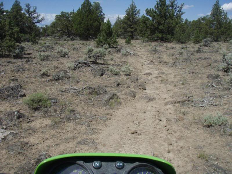
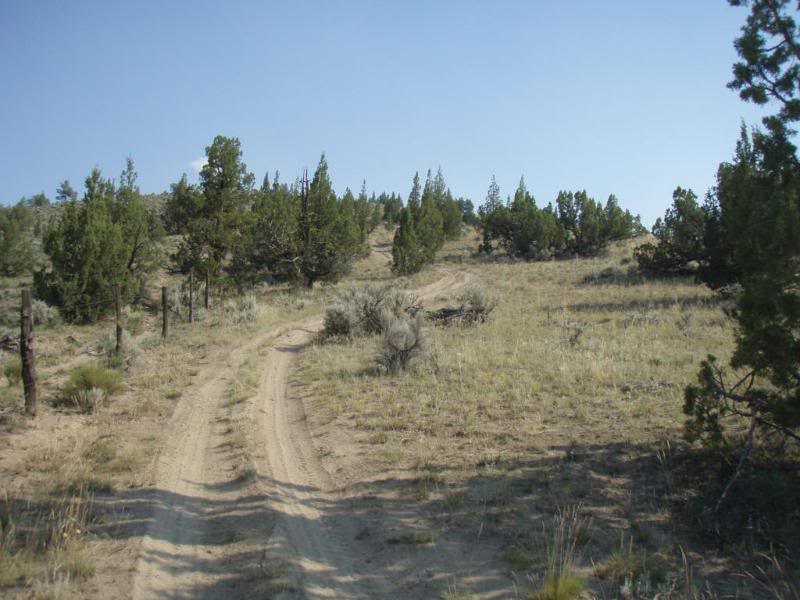
Typical roads, but there were narrow trails as well.
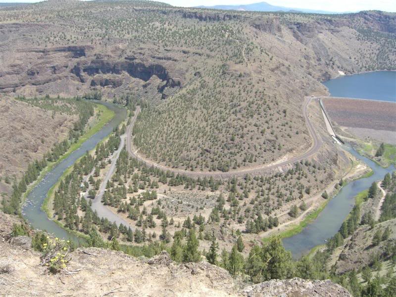
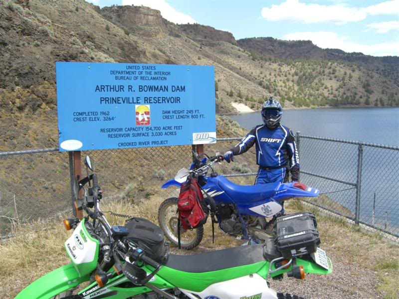
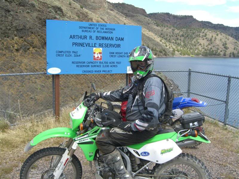
This is a picture that is above the Arthur Bowman Dam which creates the Prineville Reservoir. Those pics will come later.
On our way to another cache, we spotted a nice deer. Jim got a shot off with his camera.
This cache was interesting. It's called Buffalo Bill's Boots cache, and who did we ruin into but Jim's mom and Step Dad Pete! We knew that they were coming out that day from Bend to visit the campsite, but it was weird running into them there. They are into geocaching as well. I guess it runs in the family. Oh and thanks for the Carrot Cake Auntie.
Ok this next picture we called the epic hill on the epic ride, yea I know we have already used epic ride way too many times, but it just fit. From a quarter mile away that hill looked like it was waaaaaaaaaaay too steep for us to climb. In fact we were going to continue right on the trail that headed back to the power lines and to camp. I looked at Jim, and he looked back at me and all of the sudden he took off, and of course not to be outdone (or shamed) I followed him at 45 mph. As we approached the hill, it soon became apparent that the hill was not quite as steep as we thought, but it was wide open in second, bouncing all over the place on rocks the size of baseballs, and at one point my front tire almost hit his back tire, but it was one of those get on it or suffer the consequences.
Here are a few pictures from the top. It was a 360 degree view, and was awesome to say the least.
This was heading back down the other side which tied into the trail we were on before the detour.
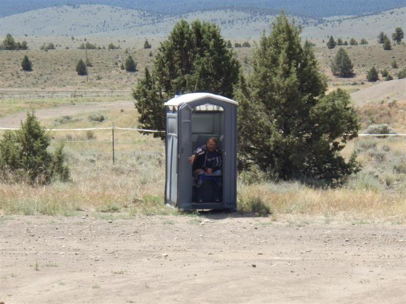
Random picture of Jim in the Honey Bucket. Hey you opened the door, I just took advantage of it.
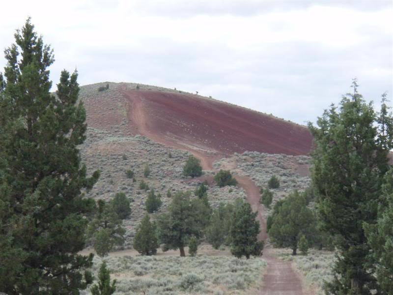
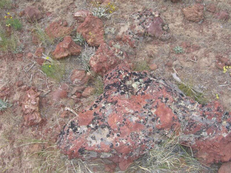
The red rock also fascinated me, as I had never seen it before. It was like driving on those red landscape rocks you can buy at Home Depot. Or like marbles...take your pick of the comparison.
These power lines went on forever.
This picture shows how rough some of the trails can be, the rocks just look like they are going to slice your sidewalls.
Typical roads, but there were narrow trails as well.
This is a picture that is above the Arthur Bowman Dam which creates the Prineville Reservoir. Those pics will come later.
On our way to another cache, we spotted a nice deer. Jim got a shot off with his camera.
This cache was interesting. It's called Buffalo Bill's Boots cache, and who did we ruin into but Jim's mom and Step Dad Pete! We knew that they were coming out that day from Bend to visit the campsite, but it was weird running into them there. They are into geocaching as well. I guess it runs in the family. Oh and thanks for the Carrot Cake Auntie.
Ok this next picture we called the epic hill on the epic ride, yea I know we have already used epic ride way too many times, but it just fit. From a quarter mile away that hill looked like it was waaaaaaaaaaay too steep for us to climb. In fact we were going to continue right on the trail that headed back to the power lines and to camp. I looked at Jim, and he looked back at me and all of the sudden he took off, and of course not to be outdone (or shamed) I followed him at 45 mph. As we approached the hill, it soon became apparent that the hill was not quite as steep as we thought, but it was wide open in second, bouncing all over the place on rocks the size of baseballs, and at one point my front tire almost hit his back tire, but it was one of those get on it or suffer the consequences.
Here are a few pictures from the top. It was a 360 degree view, and was awesome to say the least.
This was heading back down the other side which tied into the trail we were on before the detour.
Random picture of Jim in the Honey Bucket. Hey you opened the door, I just took advantage of it.
The red rock also fascinated me, as I had never seen it before. It was like driving on those red landscape rocks you can buy at Home Depot. Or like marbles...take your pick of the comparison.
Thread Starter
|
Your Humble Moderator/Admin
Joined: Nov 2005
Posts: 21,060
From: Washington
1st Gear Member
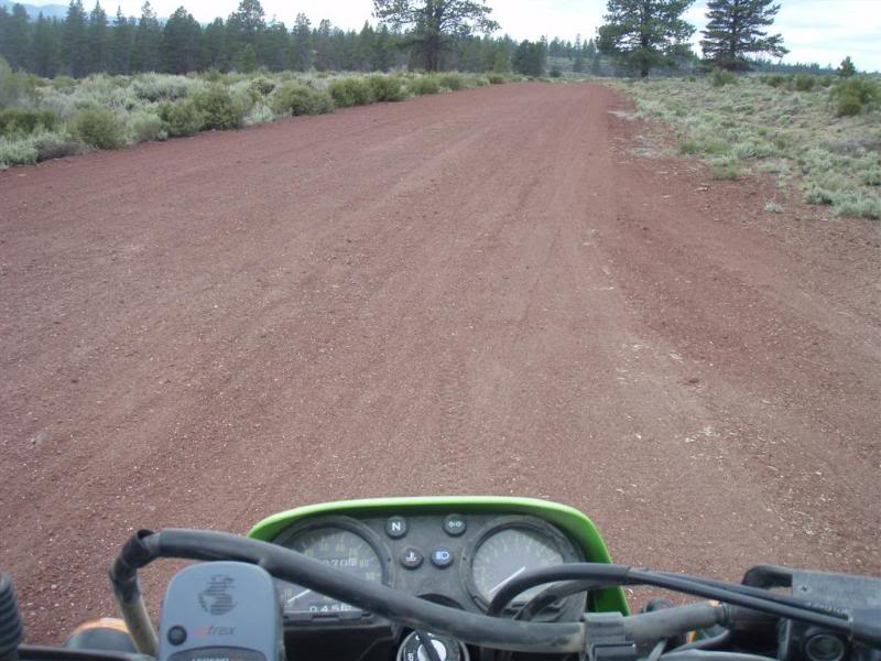
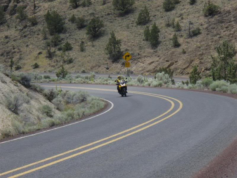
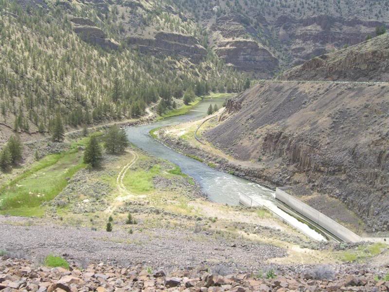
Ok this series is from above the dam and then as we rode and went across it. Keep in mind that this is a state highway, of which you are supposed to be on a street legal bike. But we won't tell your Captain....right Jim? Hahahaa
After picking up another cache, we took some pics of the dam from up above.
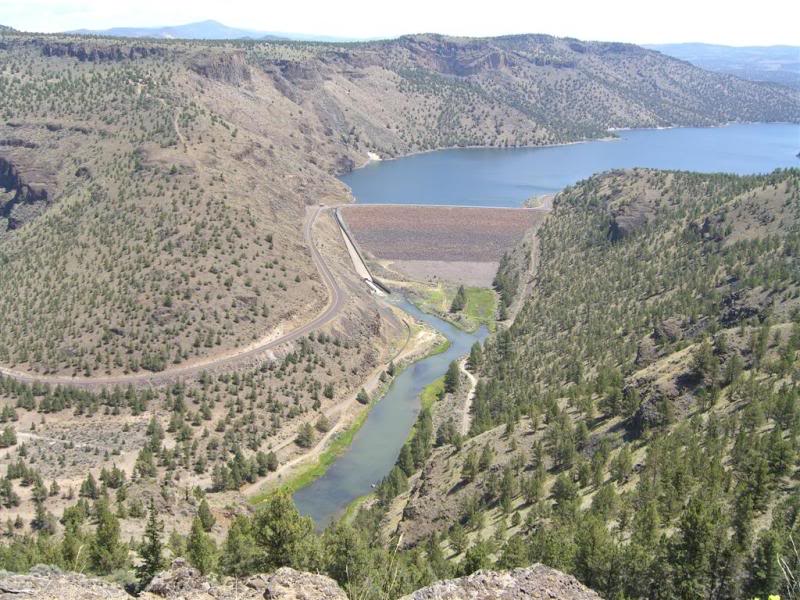
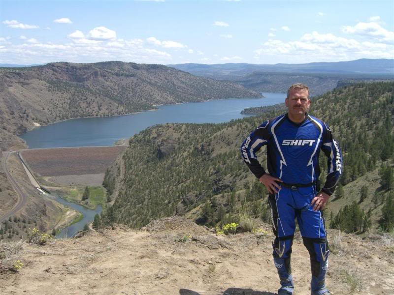
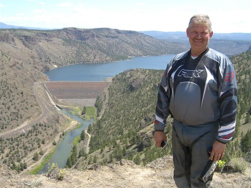 That forms the Crooked River......I don't know why they call it that but whatever...
unless you were a goat. It sluffed off right at the highway and was at least a 12 ft straight up transition. Bummer, that would have been cool to connect to that area.
So off it was to ride on the road to the dam. Some of us were not quite legal to ride on the road, who will remain nameless...
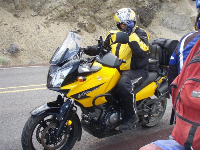
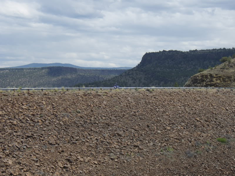
We ran into this guy from California, just out for a ride.
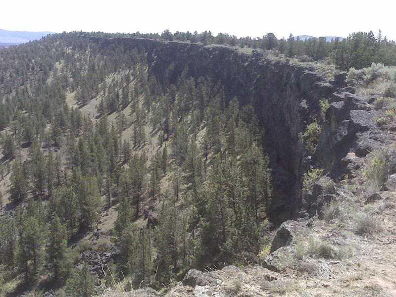
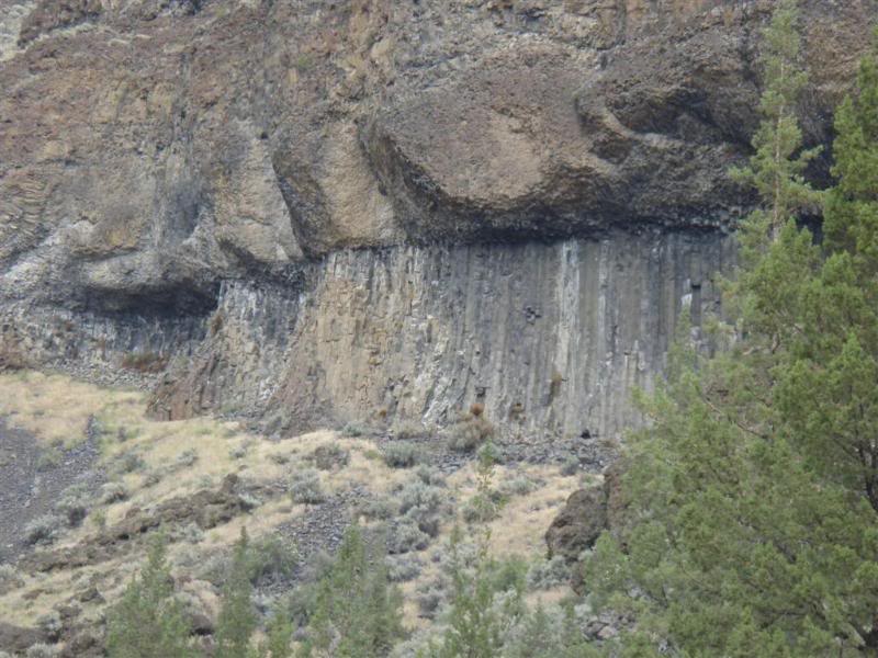
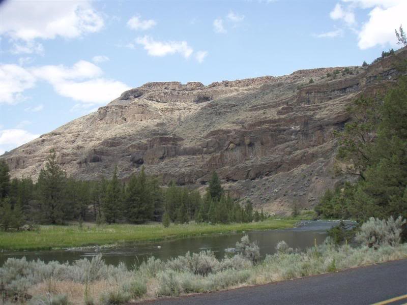
At the bottom of the canyon from the road. This area is like another world to me. I kept expecting John Wayne to ride up and talk to me. What a great area, and the Geology is also a wonder to look at.
Lower river picture.
There wasn't a lot of traffic around, but we figured since one of us....again not sure who that could have been....*cough* Jim *cough* we thought we had better head back to the safety of the trails.
However....we did stop on the way back around to take a few pictures of course.
You can see me over there if you look real close.
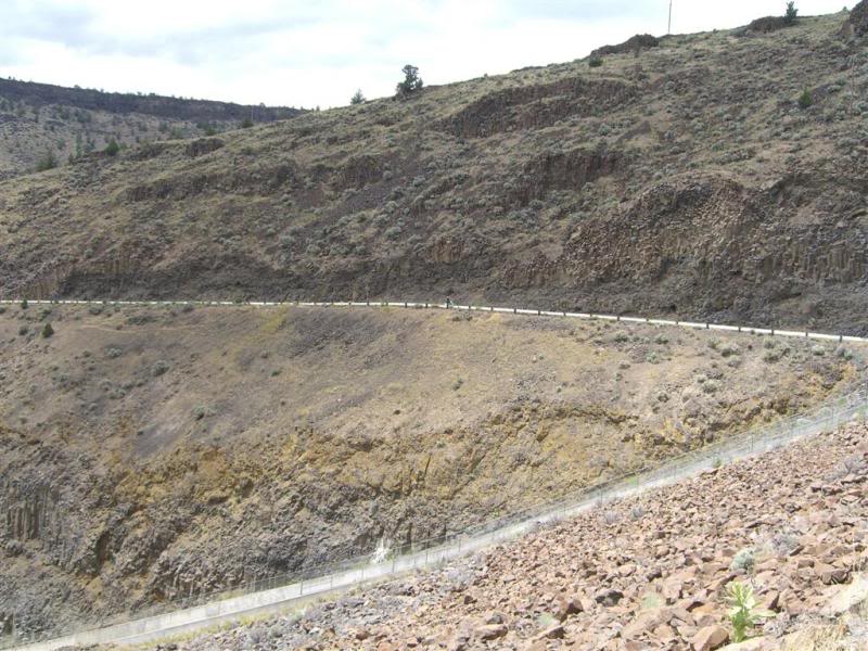
Then it was back about 4 miles to the safety of the trails system.
After picking up another cache, we took some pics of the dam from up above.
That forms the Crooked River......I don't know why they call it that but whatever...unless you were a goat. It sluffed off right at the highway and was at least a 12 ft straight up transition. Bummer, that would have been cool to connect to that area.
So off it was to ride on the road to the dam. Some of us were not quite legal to ride on the road, who will remain nameless...
We ran into this guy from California, just out for a ride.
At the bottom of the canyon from the road. This area is like another world to me. I kept expecting John Wayne to ride up and talk to me. What a great area, and the Geology is also a wonder to look at.
Lower river picture.
There wasn't a lot of traffic around, but we figured since one of us....again not sure who that could have been....*cough* Jim *cough* we thought we had better head back to the safety of the trails.
However....we did stop on the way back around to take a few pictures of course.
You can see me over there if you look real close.
Then it was back about 4 miles to the safety of the trails system.
Thread Starter
|
Your Humble Moderator/Admin
Joined: Nov 2005
Posts: 21,060
From: Washington
1st Gear Member
Ok Jim was looking at me in some sort of disdain, but come on, every ride report needs a little art right? Again don't hate man...
I just thought that it was cool that things like this can even grow out there.
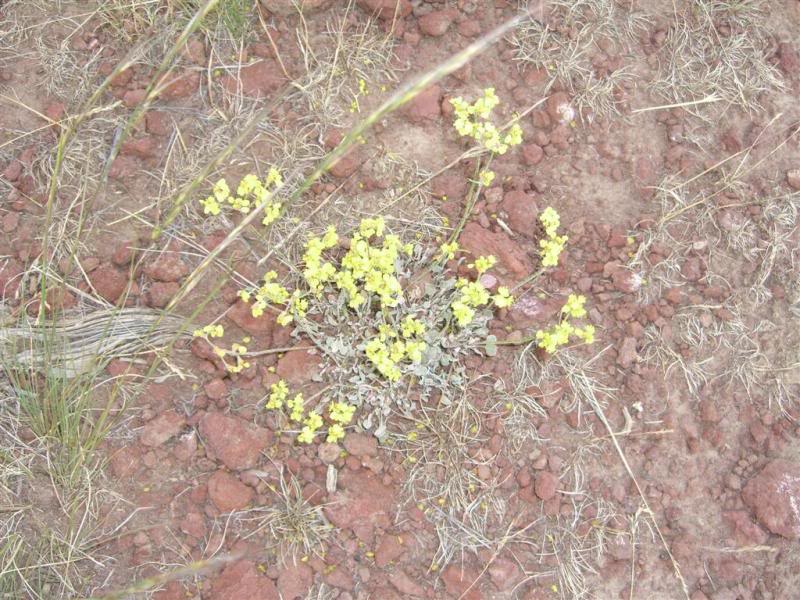
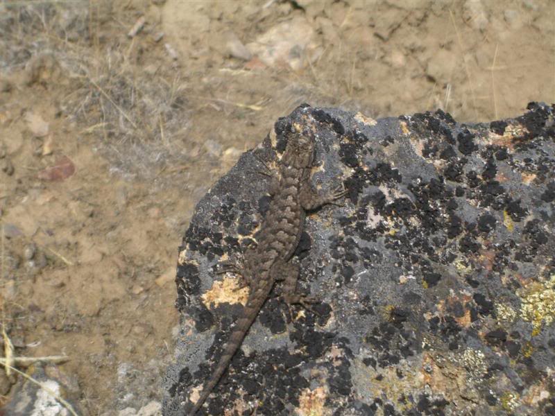
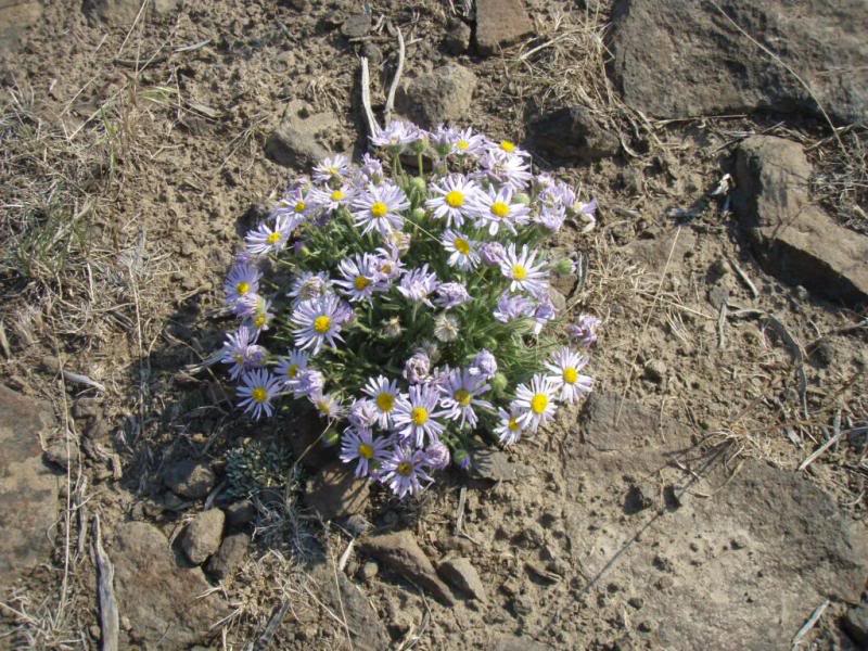
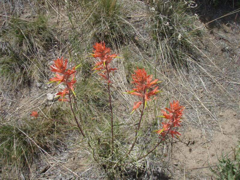
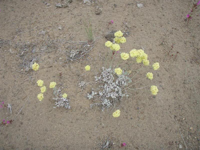
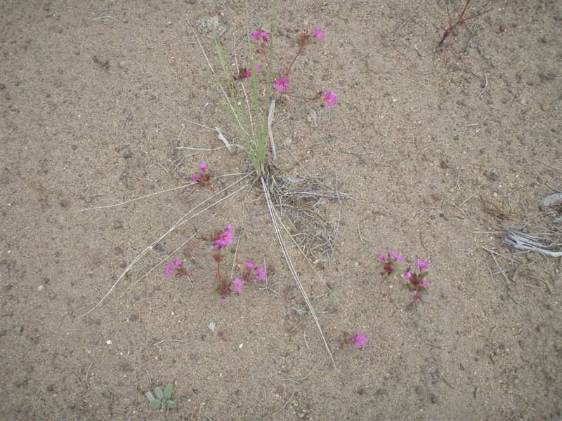
I just thought that it was cool that things like this can even grow out there.
Last edited by deej; Jul 29, 2009 at 05:38 PM.
Thread Starter
|
Your Humble Moderator/Admin
Joined: Nov 2005
Posts: 21,060
From: Washington
1st Gear Member
A few more random pics from the trip.
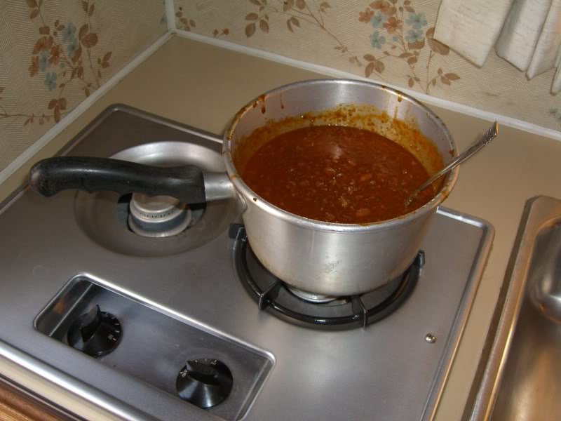
Ok two nights of Chili in a small camper is not good......trust me.
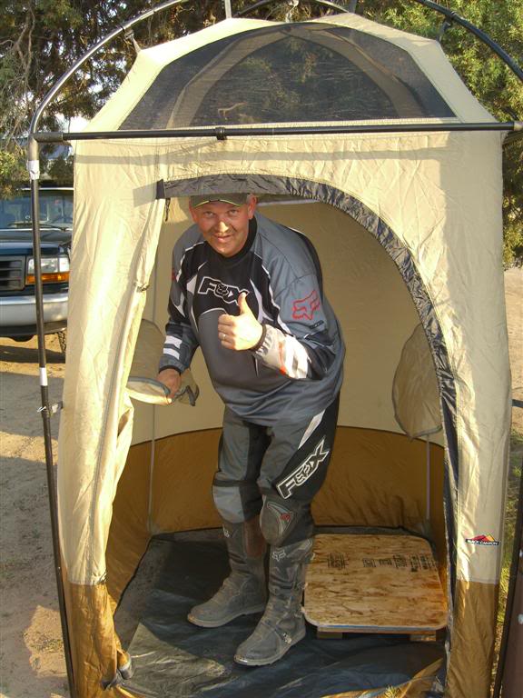
The shower was awesome.
Before.....
After......

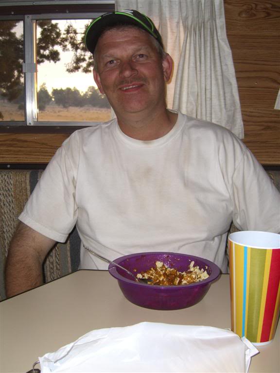
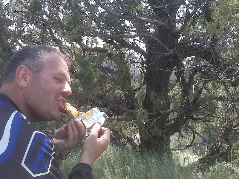
Almost forgot this one, it was after we couldn't find that one cache way up in the hills, and we sat down to enjoy some water and a snack. It looks like Jim was enjoying that thing a little too much. I have to admit, the peanut butter bars did taste better melted.
Trip home on Friday morning.
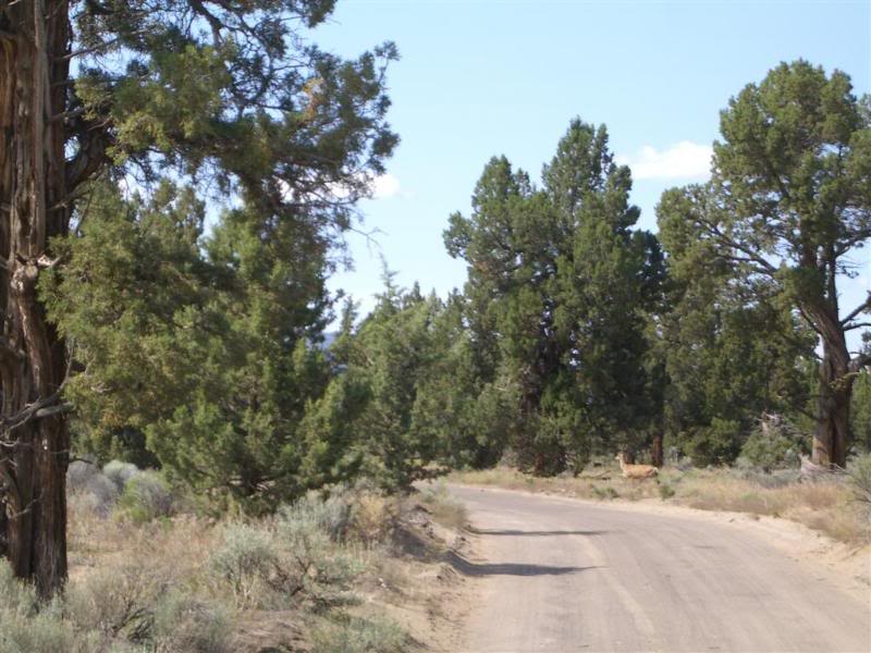
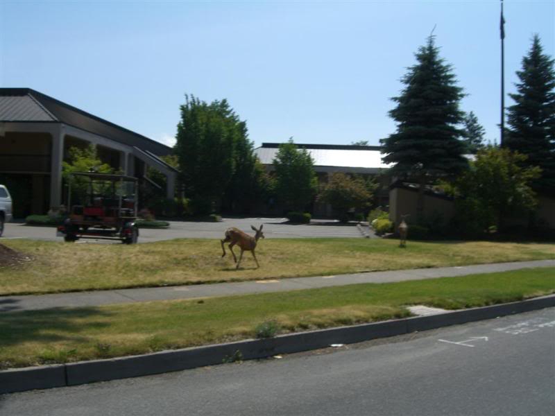
Came across a couple of deer in Bend, they didn't seem too excited.
This last picture didn't seem to fit into any category, except this was the "end" of the trip. Some dude carrying 2 bags of pop cans, and he was wearing Women's underwear. I didn't notice it, but Jim picked up on it right away.......AWWWWWWKWARD!!!! And he made me take a picture.
Summary:
This was by far the best trip I have been on and as far as ride reports, the most work put into one, and I have like 30 of them on this site and others. Jim that was a blast, and it was great getting back together after all these years. Now where is my T-Shirt?
Tell Julie thanks for everything, the food was awesome, and thank her for letting you go on this EPIC RIDE!!! I just hope she doesn't have to work too hard re-programming you.
Well that's it guys, sorry for the long report, but something of this magnitude has to be kept as a record. That way in court I don't have to remember everything I can just pull this up and hand it to the judge.
djk
Disclaimer:
There will probably be some spelling errors and grammar mistakes, along with a possibly double picture posting here and there, but at this point I'm too tired to correct everything. Besides you guys know me and I will continue to fine tune this as the weeks and months go by. I know I need help, and am a sick puppy, but that's just the way it is.
Oh and we ended the ride with 221 miles which is a lot considering most were on trails and sandy roads.
I hope you all enjoy the report.
Ok two nights of Chili in a small camper is not good......trust me.
The shower was awesome.
Before.....
After......
Almost forgot this one, it was after we couldn't find that one cache way up in the hills, and we sat down to enjoy some water and a snack. It looks like Jim was enjoying that thing a little too much. I have to admit, the peanut butter bars did taste better melted.
Trip home on Friday morning.
Came across a couple of deer in Bend, they didn't seem too excited.
This last picture didn't seem to fit into any category, except this was the "end" of the trip. Some dude carrying 2 bags of pop cans, and he was wearing Women's underwear. I didn't notice it, but Jim picked up on it right away.......AWWWWWWKWARD!!!! And he made me take a picture.
Summary:
This was by far the best trip I have been on and as far as ride reports, the most work put into one, and I have like 30 of them on this site and others. Jim that was a blast, and it was great getting back together after all these years. Now where is my T-Shirt?
Tell Julie thanks for everything, the food was awesome, and thank her for letting you go on this EPIC RIDE!!! I just hope she doesn't have to work too hard re-programming you.
Well that's it guys, sorry for the long report, but something of this magnitude has to be kept as a record. That way in court I don't have to remember everything I can just pull this up and hand it to the judge.
djk
Disclaimer:
There will probably be some spelling errors and grammar mistakes, along with a possibly double picture posting here and there, but at this point I'm too tired to correct everything. Besides you guys know me and I will continue to fine tune this as the weeks and months go by. I know I need help, and am a sick puppy, but that's just the way it is.
Oh and we ended the ride with 221 miles which is a lot considering most were on trails and sandy roads.
I hope you all enjoy the report.